Philly Needs a New Metro Map Last year I was fortunate enough to work on a wayfinding pilot… Continue reading “Philly Needs a New Metro Map”…
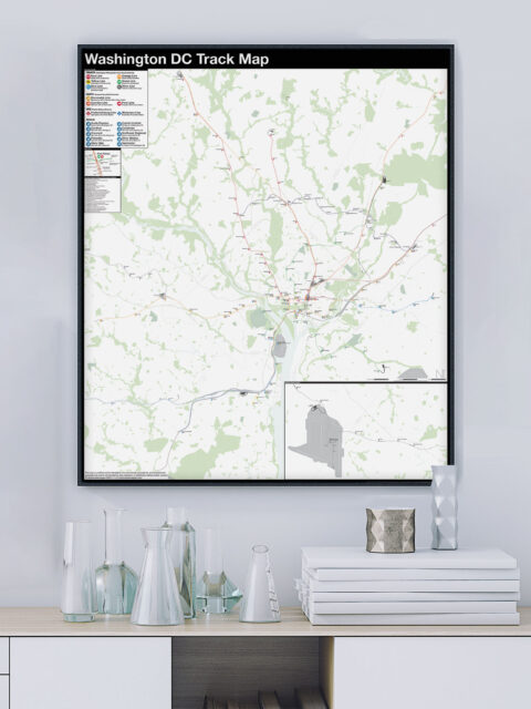
Washington DC: Complete and Geographically Accurate Track Map The history of the Washington, DC Metro, run by the Washington Metropolitan… Continue reading “Washington DC: Complete and Geographically Accurate Track Map”…
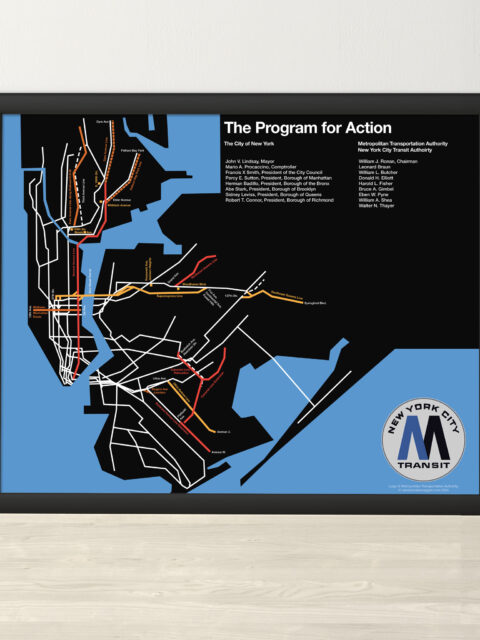
MTA Program for Action 1969 Print A year ago, I did a deep dive into the MTA’s Program… Continue reading “MTA Program for Action 1969 Print”…
Exasperated Infrastructures: The Past, Present, and Future of Transportation Sam Sklar is an urban planner and writer based in NYC. He… Continue reading “Exasperated Infrastructures: The Past, Present, and Future of Transportation”…
Very Expensive Maps Podcast Evan Applegate has probably the best podcast on cartography going. I was… Continue reading “Very Expensive Maps Podcast”…
“Mapping the Underground and Unseen City” talk for the Center for Railroad Photography and Art Last month I was fortunate enough to give a talk about my… Continue reading ““Mapping the Underground and Unseen City” talk for the Center for Railroad Photography and Art”…
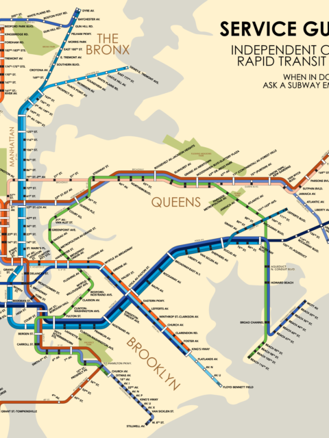
IND Service Guide: 1953 Celebrating an historic cartographer with a fantastical future map from 1953. Continue reading “IND Service Guide: 1953”…
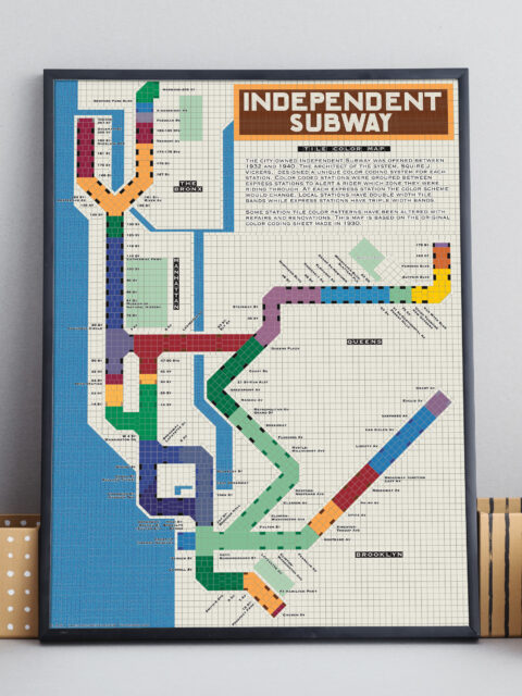
IND Tile Color Map A unique way to visualize the NYC subway using color theory. Continue reading “IND Tile Color Map”…
IND Second System Track Map A detailed look at every official subway expansion proposal from 1929 until the present. Continue reading “IND Second System Track Map”…
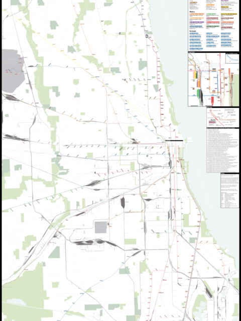
Chicago: Complete and Geographically Accurate Track Map I am incredibly excited to release my newest map: The Complete and… Continue reading “Chicago: Complete and Geographically Accurate Track Map”…
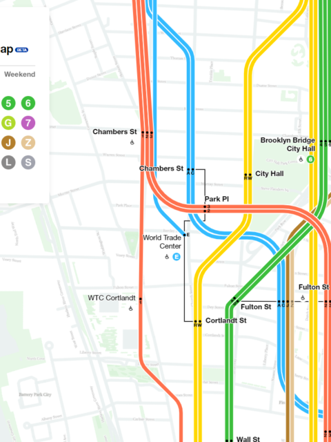
Worst. Map. Ever. The MTA stepped in the right direction with its new interactive subway map. But it also stepped in shit. Continue reading “Worst. Map. Ever.”…
Updated NYC and Boston Track Maps I’m happy to announce a new version of the New York City… Continue reading “Updated NYC and Boston Track Maps”…
 vanshnookenraggenvanshnookenraggen