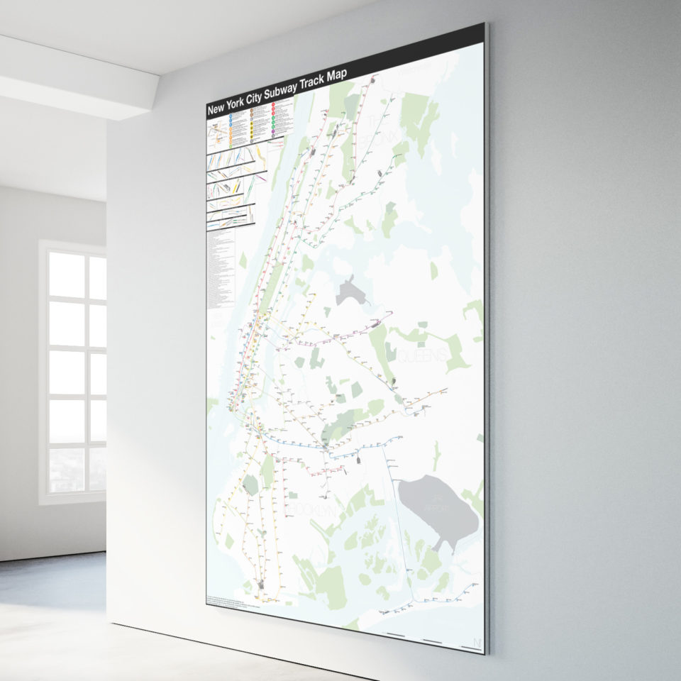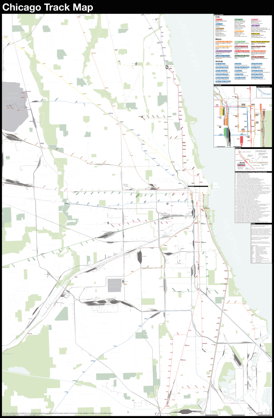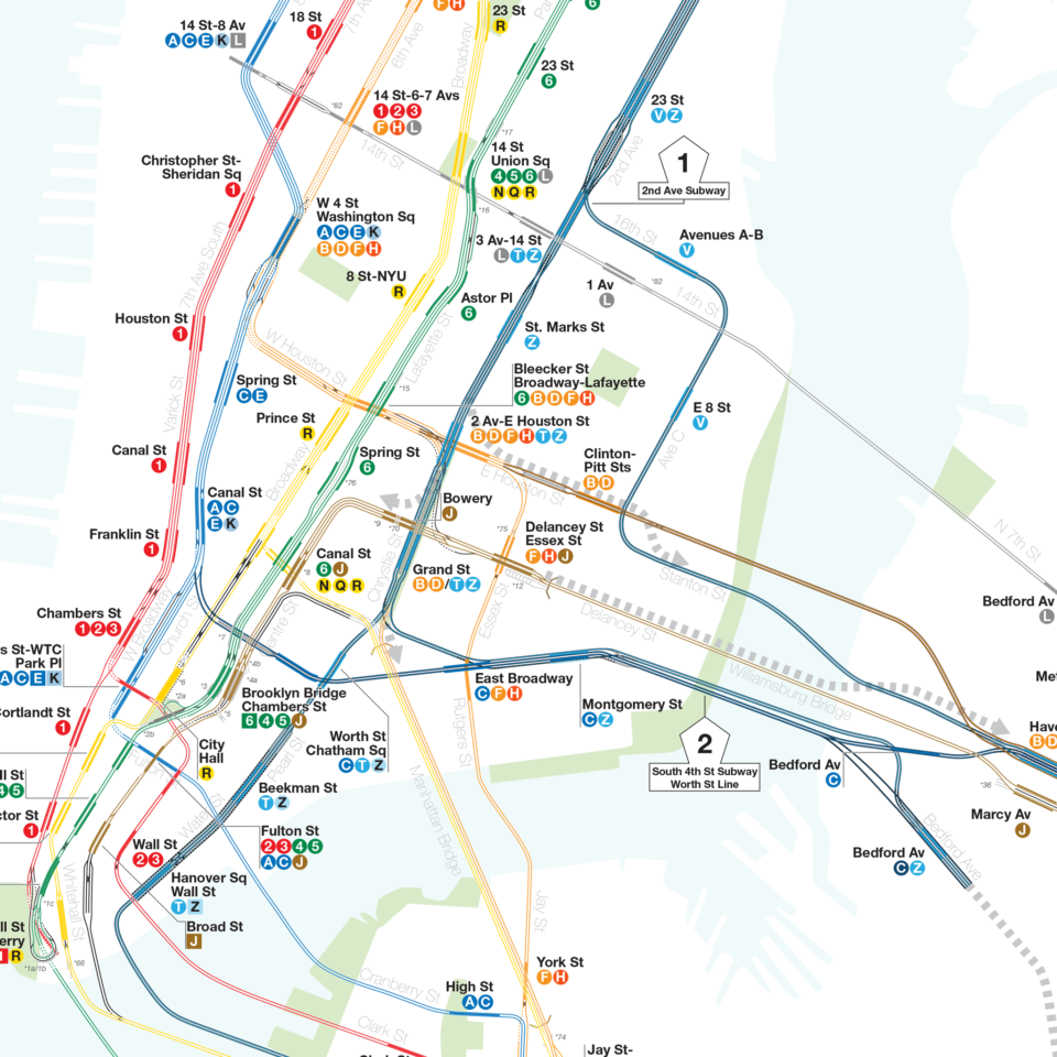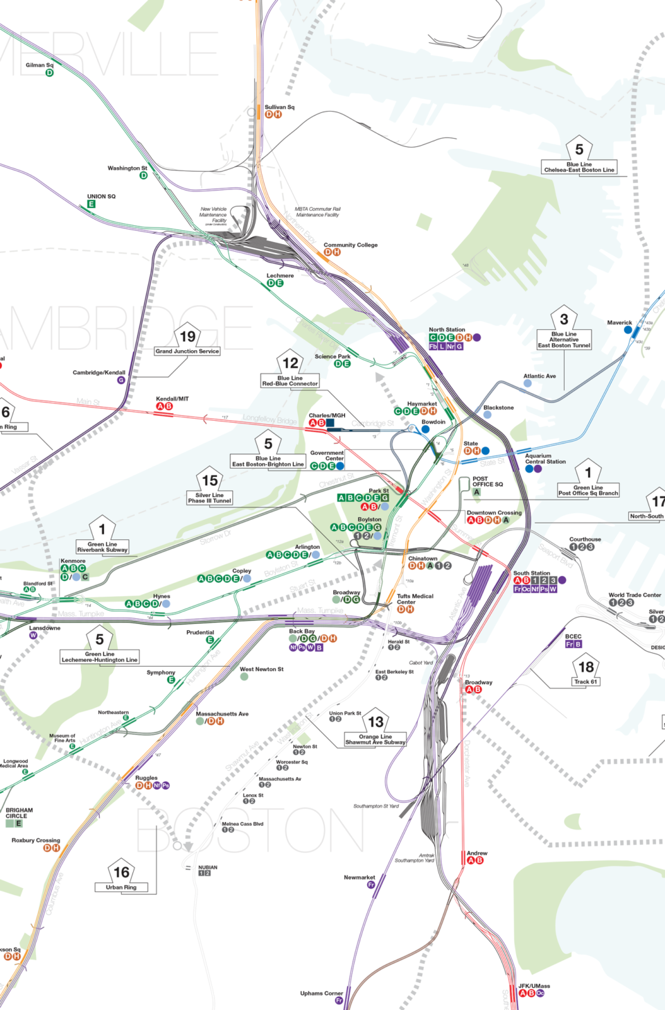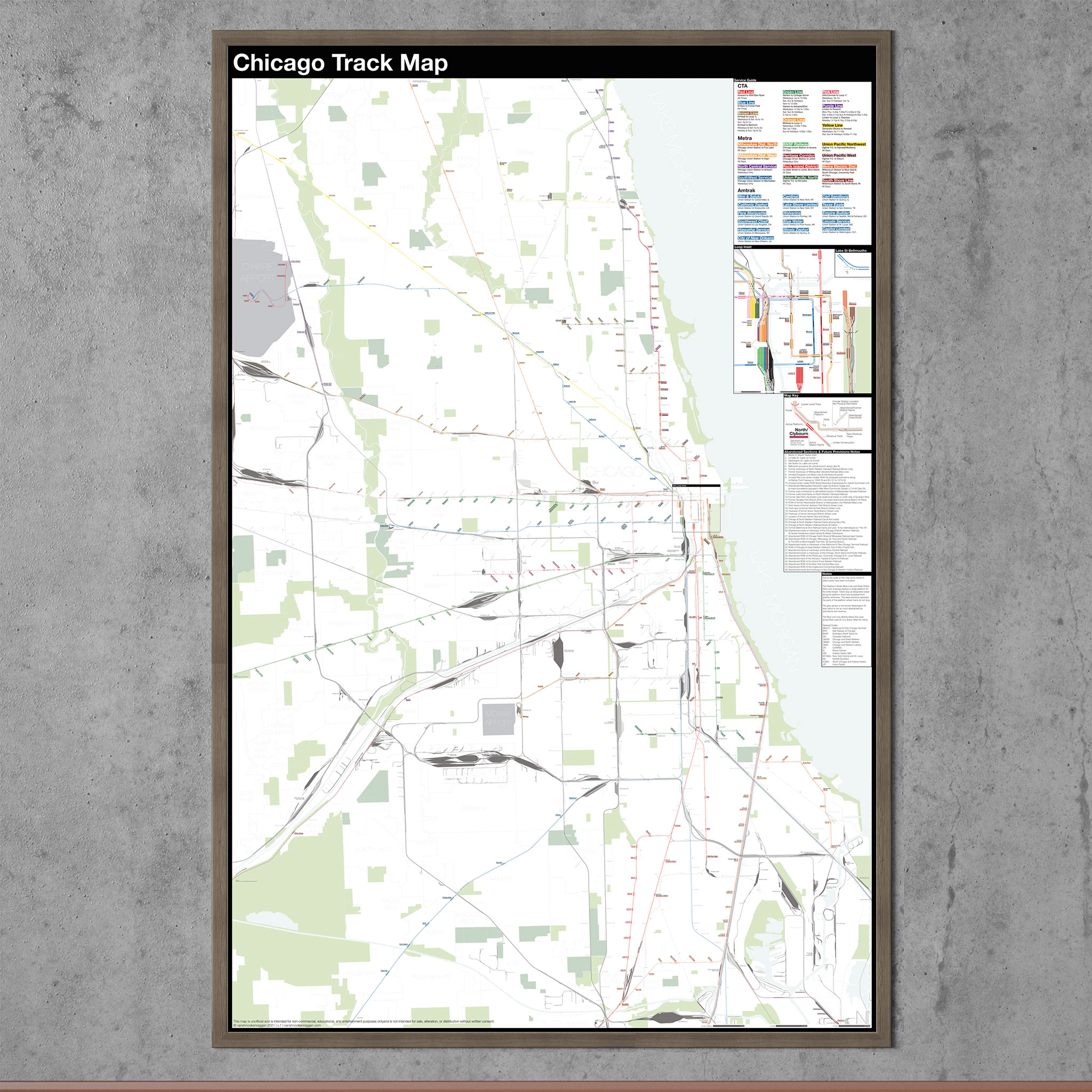
A traditional transit map exists to help the user navigate from point A to point B within a system. Track maps exist to show the system in more technical terms. Traditionally, track maps are simple schematics showing the location of tracks, switches, platforms, and signals.
My track maps take this one step further and lay out an entire city in geographic terms, showing exactly where every piece is. Emphasis is made on non-revenue or abandoned sections to show the full layers of history that exist.
Each map includes a key to decipher the map, route information, and an index of lost or abandoned lines.
I periodically update these maps, as the networks are ever evolving. The historic expansion maps are usually no updated, and show historic expansion proposals.