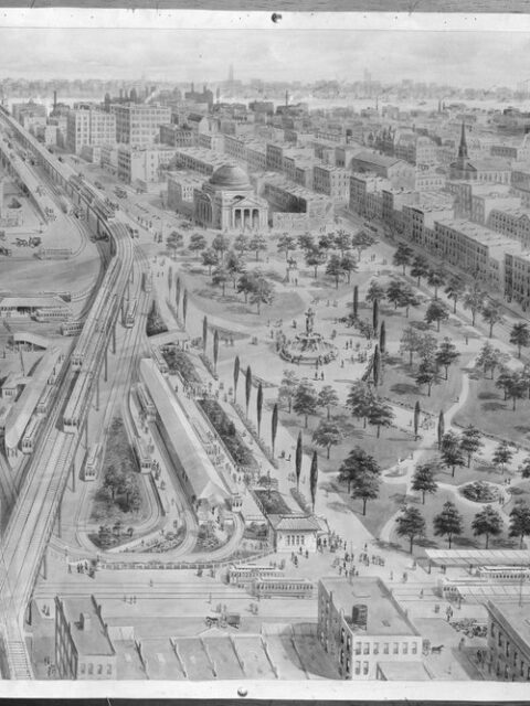
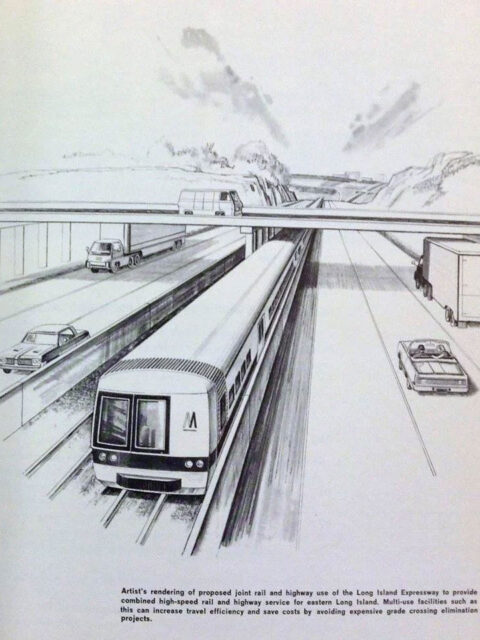
How do you get to Horace Harding Blvd? Every borough of New York City has a great unrealized subway line.… Continue reading “How do you get to Horace Harding Blvd?”…
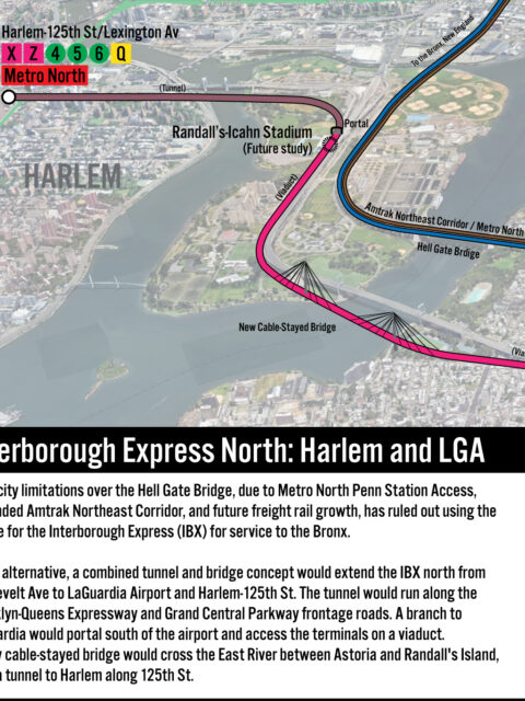
IBX North: A Bridge to Harlem and LGA If using the Hell Gate Bridge is off the table, and tunneling is far too expensive, the question then becomes: is a new bridge actually feasible? Continue reading “IBX North: A Bridge to Harlem and LGA”…
Why the IBX Won’t Reach the Bronx When the Interboro Express (IBX) was announced in January, 2022 by Gov.… Continue reading “Why the IBX Won’t Reach the Bronx”…
PATHs Not Taken A deep dive into unrealized New Jersey subway extensions. Continue reading “PATHs Not Taken”…
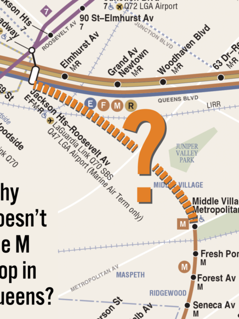
Why Doesn’t the M Train Loop in Queens? Money, Mobsters and Moses. Continue reading “Why Doesn’t the M Train Loop in Queens?”…
Philly Needs a New Metro Map Last year I was fortunate enough to work on a wayfinding pilot… Continue reading “Philly Needs a New Metro Map”…
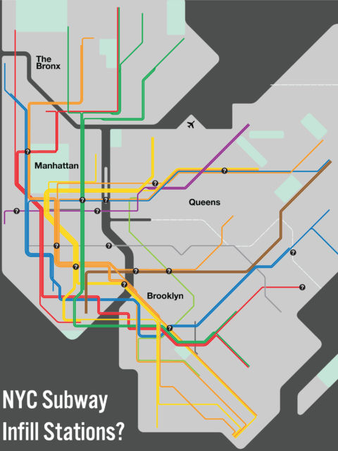
To fill or Not to fill: Infill Stations in NYC [UPDATE] In the original version of this post, I suggested that express… Continue reading “To fill or Not to fill: Infill Stations in NYC ”…
Washington DC: Complete and Geographically Accurate Track Map The history of the Washington, DC Metro, run by the Washington Metropolitan… Continue reading “Washington DC: Complete and Geographically Accurate Track Map”…
The Devolution of the IND Second System The idea for this post came from an overlooked appendix at the… Continue reading “The Devolution of the IND Second System”…
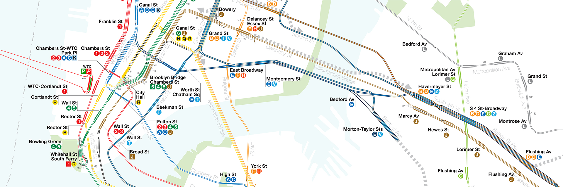
Eastern Promises: Expanding the J, M and L trains The subway lines which serve Williamsburg and Bushwick, the J/Z, M and… Continue reading “Eastern Promises: Expanding the J, M and L trains”…
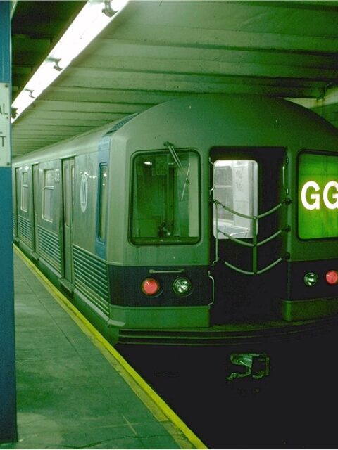
Squaring the Circle: Extending the G Train to Queens The MTA has recently announced that they will be shutting down the… Continue reading “Squaring the Circle: Extending the G Train to Queens”…
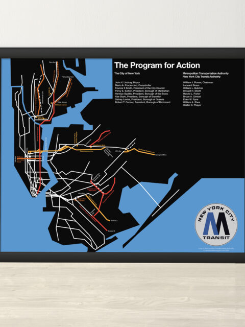
MTA Program for Action 1969 Print A year ago, I did a deep dive into the MTA’s Program… Continue reading “MTA Program for Action 1969 Print”…
 vanshnookenraggenvanshnookenraggen