Track Maps – vanshnookenraggen

vanshnookenraggen logovanshnookenraggen

Track Maps – vanshnookenraggen

vanshnookenraggen logovanshnookenraggen
Skip to content
  • /home
  • /store
  • /biography
  • /press and podcasts
  • /track maps
  • /historic maps
  • /futureNYCSubway
  • /futureMBTA
  • /unbuilt highways
  • /urban exploration
  • /hyperreal cartography
  • /QueensLink

Archives

Categories

  • Bluesky
  • Flickr
  • Tumblr
  • Email

Category: Track Maps

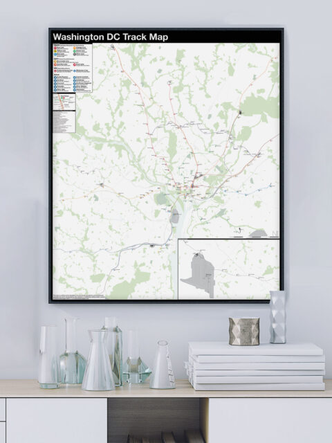
Washington DC: Complete and Geographically Accurate Track Map

The history of the Washington, DC Metro, run by the Washington Metropolitan…
Continue reading “Washington DC: Complete and Geographically Accurate Track Map”…

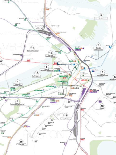
Boston Historic “T” Track Map

A detailed look at ever official plan to expand the T since 1897.
Continue reading “Boston Historic “T” Track Map”…

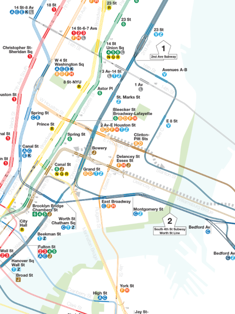
IND Second System Track Map

A detailed look at every official subway expansion proposal from 1929 until the present.
Continue reading “IND Second System Track Map”…

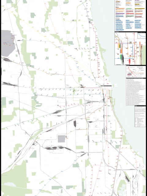
Chicago: Complete and Geographically Accurate Track Map

I am incredibly excited to release my newest map: The Complete and…
Continue reading “Chicago: Complete and Geographically Accurate Track Map”…

Boston MBTA: Complete and Geographically Accurate Track Map

Large format prints are available at my vanmaps.com store. I was more…
Continue reading “Boston MBTA: Complete and Geographically Accurate Track Map”…

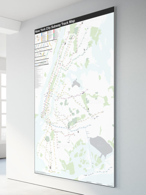
NYC Subway: Complete and Geographically Accurate Track Map

Collecting every historical map I could find, using GIS data, satellite imagery (both current and historic), YouTube videos of fan trips, my own observations looking out the window of trains through tunnels, and talking to retired track workers I was able to draw what I believe to be the most accurate track map of the NYC Subway ever.
Continue reading “NYC Subway: Complete and Geographically Accurate Track Map”…
© 2025 vanshnookenraggen | Using Receptar WordPress theme. | Privacy Policy | Back to top ↑