Boston Historic “T” Track Map A detailed look at ever official plan to expand the T since 1897. Continue reading “Boston Historic “T” Track Map”…
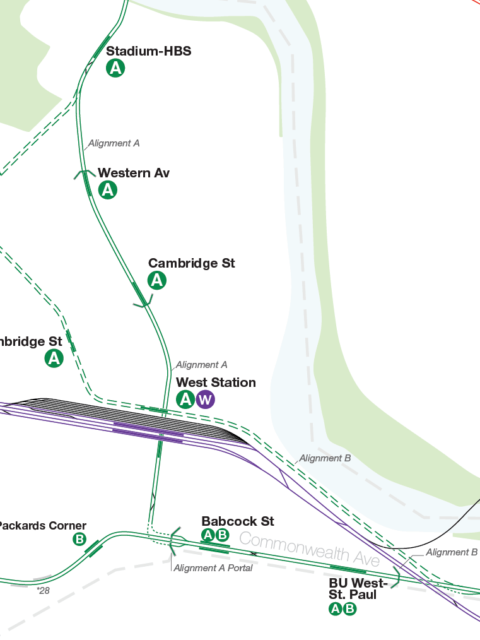
The Future of the Green Line: From Harvard and Needham to the Seaport Boston’s subway is straining with new growth. It is time to rethink America’s oldest subway for the 21st Century. Continue reading “The Future of the Green Line: From Harvard and Needham to the Seaport”…
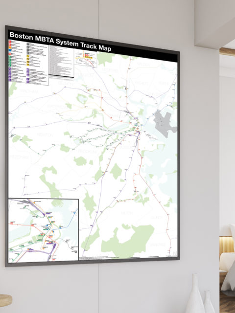
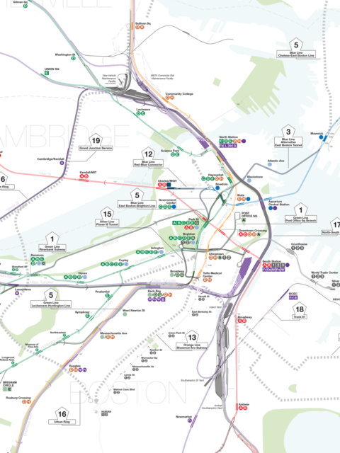
Boston MBTA: Complete and Geographically Accurate Track Map Large format prints are available at my vanmaps.com store. I was more… Continue reading “Boston MBTA: Complete and Geographically Accurate Track Map”…
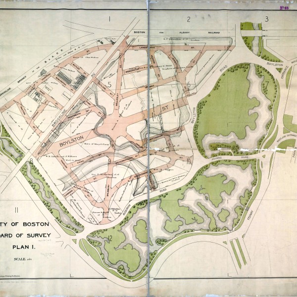
Unbuilt Street Grid of West Fenway Map Reproduction Courtesy of the Norman B. Leventhal Map Center at the… Continue reading “Unbuilt Street Grid of West Fenway”…
 vanshnookenraggenvanshnookenraggen