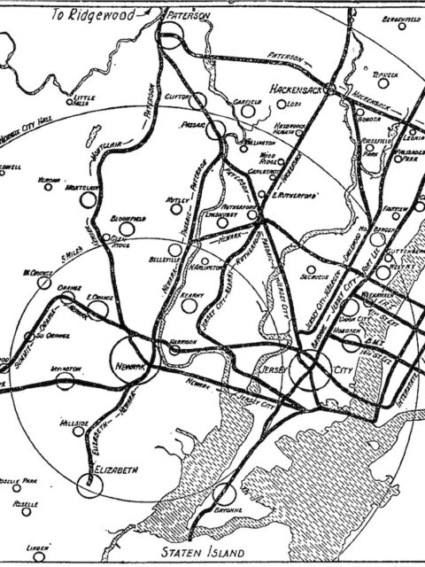
PATHs Not Taken A deep dive into unrealized New Jersey subway extensions. Continue reading “PATHs Not Taken”…
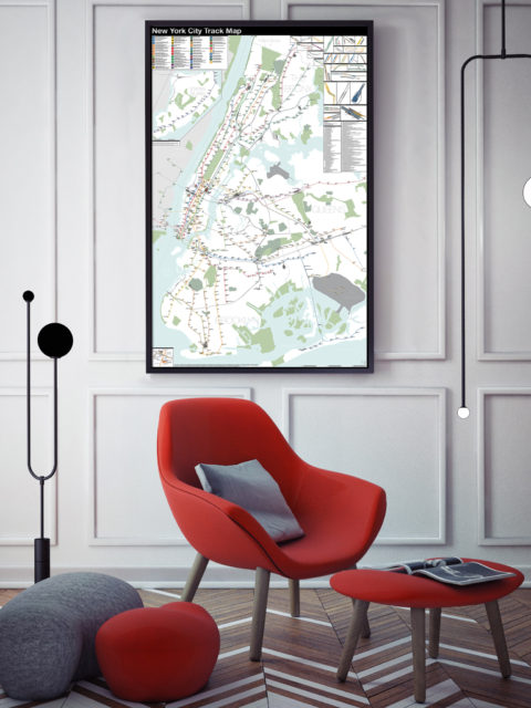
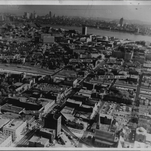
Updated NYC and Boston Track Maps I’m happy to announce a new version of the New York City… Continue reading “Updated NYC and Boston Track Maps”…
Mapping the Almost-Real City I had a nice phone interview with Eric Jaffe from The Atlantic… Continue reading “Mapping the Almost-Real City”…
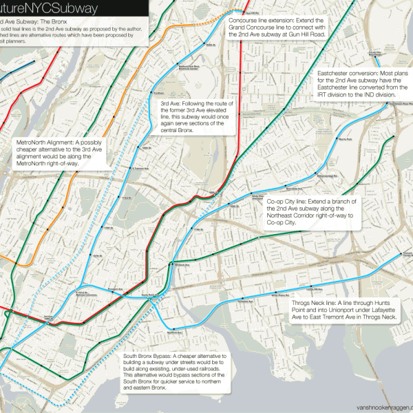
The futureNYCSubway: 2nd Ave Subway Future The last four posts have all been about the history of subway… Continue reading “The futureNYCSubway: 2nd Ave Subway Future”…
 vanshnookenraggenvanshnookenraggen