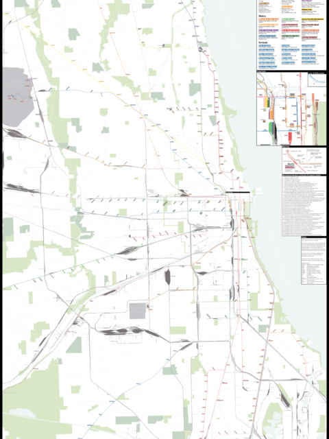
Chicago: Complete and Geographically Accurate Track Map I am incredibly excited to release my newest map: The Complete and… Continue reading “Chicago: Complete and Geographically Accurate Track Map”…
Build Transit Where It’s Most Effective, Not Where It’s Least Expensive Transit planners often look for the path of least resistance but this more often than not reduces the effectiveness of transit. Transit should be built where it will be most effective not where it’s cheapest to build. Continue reading “Build Transit Where It’s Most Effective, Not Where It’s Least Expensive”…
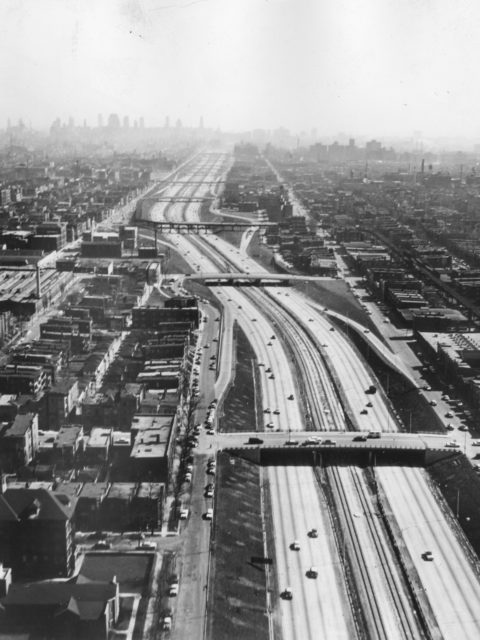
The Death and Life of an Elevated Subway Continue reading “The Death and Life of an Elevated Subway”…
 vanshnookenraggen