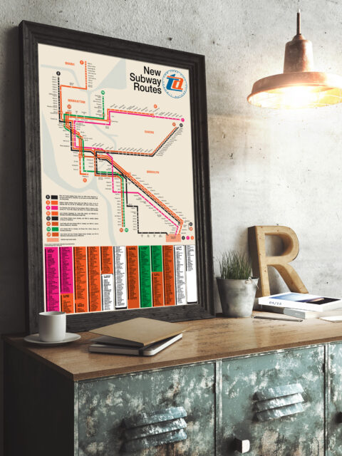
Celebrating 50 years of the Chrystie Street Connection On November 27th, 1967 there was chaos on the New York City… Continue reading “Celebrating 50 years of the Chrystie Street Connection”…
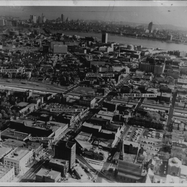
Boston MBTA: Complete and Geographically Accurate Track Map Large format prints are available at my vanmaps.com store. I was more… Continue reading “Boston MBTA: Complete and Geographically Accurate Track Map”…
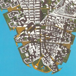
hyperreal cartography and the unrealized city hyperreal cartography and the unrealized city. Over the years I’ve collected odd… Continue reading “hyperreal cartography and the unrealized city”…
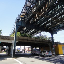
The High Line Effect: Thoughts on Reusing Infrastructure It amazes me that I’ve had this website, in one form or… Continue reading “The High Line Effect: Thoughts on Reusing Infrastructure”…
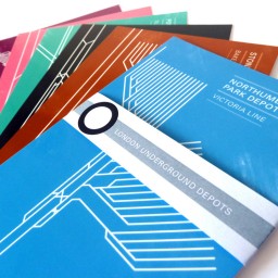
London Underground Depot Post Cards Well file this under “wish I’d thought of that”. This amazing set… Continue reading “London Underground Depot Post Cards”…
Mapping the Almost-Real City I had a nice phone interview with Eric Jaffe from The Atlantic… Continue reading “Mapping the Almost-Real City”…
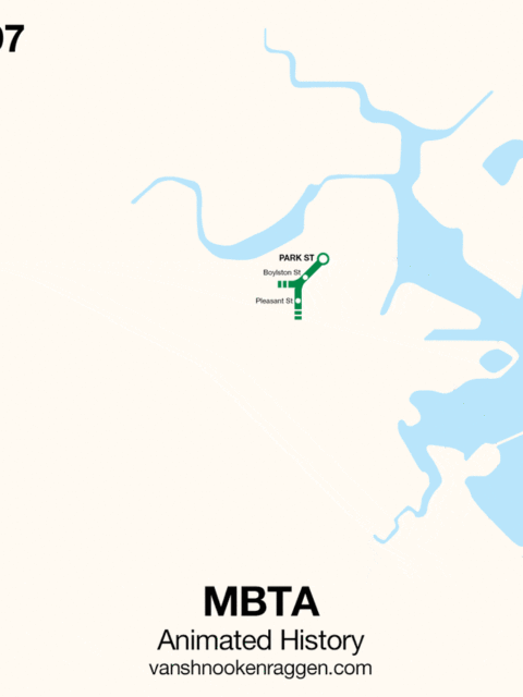
An Animated History of the MBTA [UPDATE: This map was originally published in 2009. Since then, the MBTA… Continue reading “An Animated History of the MBTA”…
 vanshnookenraggenvanshnookenraggen