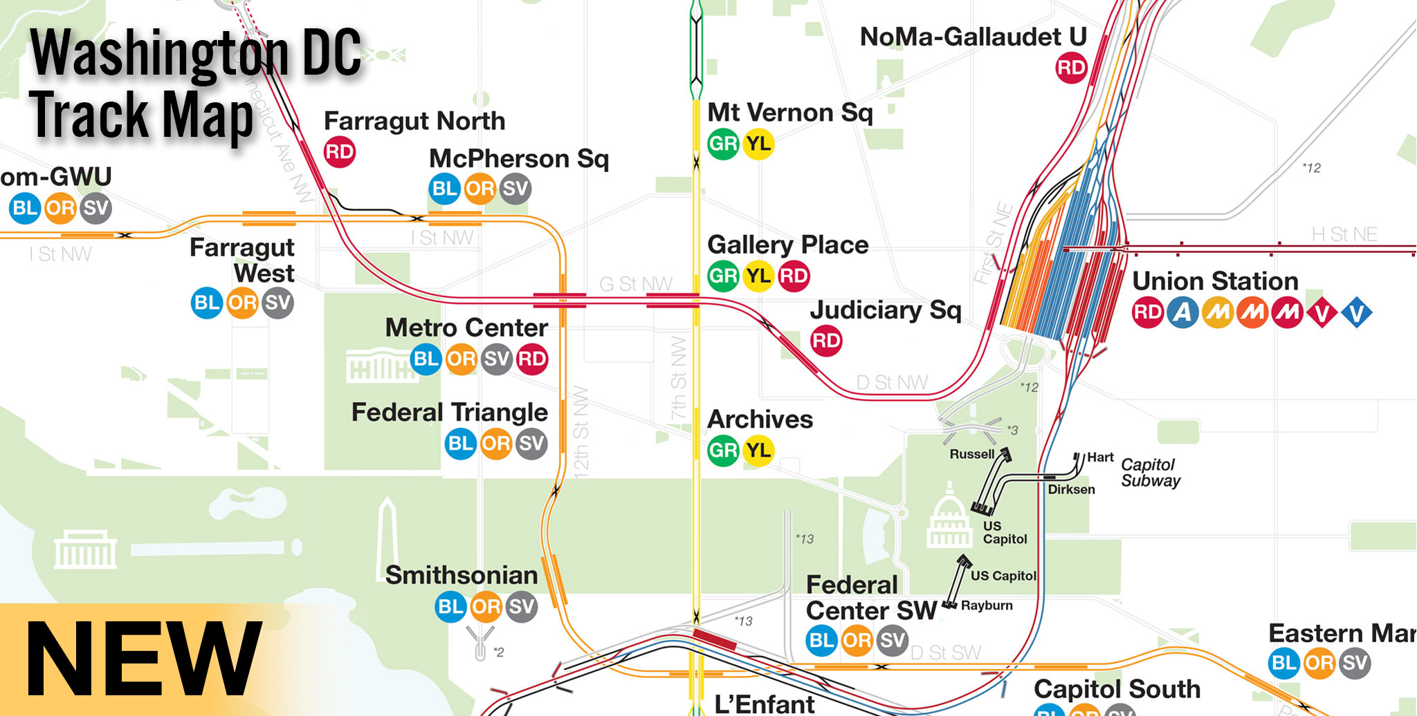
Every year the MTA releases ridership data for its subway and bus lines. It’s one thing to sift through the data and pull out obvious changes like how every single L train station has seen ridership increases but making a map of the whole data set lets you see how everything station relates to one another. Google updated its Maps engine a while back and at first I wasn’t a fan. But digging around more I realized that the new engine offered an ability to make much more interesting and interactive maps than before. The new Maps engine has data tables built in and allows you to display data based on the tables rather than changing everything by hand. It’s a very basic form of GIS but one that is much, much easier to understand and use than programs like ArcGIS. I would like to see a way to display the data differently in future Google Maps engine updates; for example I’d like to be able to show the station icon size for ridership and the color for percentage increase/decrease. The interface below is small so click on the full screen expand button on the top right to get a better view.
The station colors are a range of white>yellow>black where white has the lightest ridership and black the heaviest. Clicking on each station brings up a box with the data for 2014 annual ridership levels, percentage of ridership increases or decreases from the year before (due to station closures for construction sometimes the percent increase is much higher than what is actually happening and where this is the case I’ve left a note), and which trains serve the station.
The map brings up a lot of questions about service, existing or new, and with recent talk about restoring the W train once the first phase of the Second Ave Subway opens it is worth looking at the numbers to understand the real needs of the system. Taking the W train as an example, the original route from Astoria-Ditmars Blvd to Whitehall may be restored as there is clearly the highest demand along that route but there is also the technical possibility of extending it into Brooklyn along the 4th Ave Subway. The highest ridership levels are in Bay Ridge, Bensonhurst, and Bath Beach so extending the W either along the D or even as an express train to Bay Ridge would give the train a more balanced load along the entire line.
Rerouting the M train along 6th Ave has resulted in a double digit increase in ridership through Bushwick but still leaves many of the stations along the M with low ridership relative the the rest of the system. Reading the data can lead to opposing conclusions: ridership on the 4 train in the Bronx has reduced on almost ever station while ridership on the B and D trains has increased yet each line has similar overall ridership levels. Does this mean there should be less 4 train service in the Bronx or more service?
The Rockaway Branch in central Queens has been looked at for a rails-to-trails conversion like the High Line but many people are also calling for the line to be reactivated for subway service. Looking at the map it’s clear that the subways in north and central Queens are very busy but subways in southern Queens, Ozone Park through which the Rockaway Branch runs, are lighter in use. Those that support building a park or those who oppose any change point to this as proof that a new subway would not be worth the cost. Another way to look at it is that these areas have such low ridership because the subways that currently serve them are too long of a commute. But looking at current ridership growth in Woodhaven and Ozone Park I’m of the opinion that restoring the Rockaway Branch would eventually see an increase in ridership as it could offer a faster trip to midtown from Ozone Park… but possibly at the cost of service on the Queen Blvd Subway which (as this map clearly shows) already has very high ridership levels.
The map ultimately leave more questions than answers but I think it leaves us asking the right questions.


NYC Subway Ridership Visualized http://t.co/ieDeIyOcae
“restoring @rbl1910 would eventually see an increase in ridership” RT @vanshnook NYC Subway Ridership Visualized http://t.co/aVStlUHyDe
RT @capntransit: “restoring @rbl1910 would eventually see an increase in ridership” RT @vanshnook NYC Subway Ridership Visualized http://t.…
I have really enjoyed the maps you have provided over the past few years. I had been planning to make this reply to your version 4 map, but since you just put out this listing of busy and light usage stations, and that was a big part of my suggestions, I thought I would put the whole comment here.
Cost is, of course, a problem. But I am reminded of what Robert Moses was able to do over a period of decades, for good and for ill. When he started out, he wasn’t able to accomplish much, but he ultimately got a lot done in his Machiavellian way. So the day may come when funding might not be such an insurmountable problem and much of your plans could actually get done. I am reminded of what our former Governor Spitzer once said regarding Robert Moses. Talking about Robert Caro’s incredible work, “The Power Broker”, he said that considering how difficult it is now to get infrastructure projects done, if Caro were to write the book today, perhaps the title would be, “At Least He Got It Built.”
Anyway, out of your plans, the one that I think might be the most likely to be built, even perhaps before the completion of the Second Avenue Subway, is your little suggested Queens Plaza extension off of the local tracks of Queens Plaza and the lead-in from 21st St. – Queensbridge to 36th St. Just as transit officials were content to keep building the 63rd St. tunnel and stations bit by bit over about 30 years to finally connect to the Queens Blvd. line, they might be favorably inclined to build that piece off of Queens Plaza and 21st St.- Queensbridge as the start of the eventual superexpress route. A possible group of routes off of that would allow for 6 train routes through Queens Plaza and 21st St.-Queensbridge. For instance, the E and the F could both go through by way of 53rd Street. The B and the R could be the Queens Blvd. locals. The B would continue to be a 6th Avenue Express with the D by way of 63rd St. The F and the M would be the 6th Avenue locals. The M would then go only to 21st St.-Queensbridge using the new start of the superexpress route to turn around. And the G would end at Queens Plaza and also use the new start of the superexpress route to turn around.
You would then have the A and the E going along the 8th Avenue Express, continuing to Brooklyn (with the E replacing the C as the Fulton St. local), and two locals coming down 8th Avenue from Central Park West.
A big point of all of this, in addition to expanding the number of options for riders coming down Queens Blvd., would be to increase the number of lines going down 8th Avenue from 3 to 4, at least during rush hours. Considering that 42nd and 8th and 34th and 8th are two of the busiest stations in the system, it has always seemed strange to me why there aren’t four lines going down 8th Avenue. Historically, it would have been impractical to have four lines going down 8th Avenue prior to at least the opening of the station at 57th and 6th. Until then, the most reasonable thing to do, which they did, was 3 lines going down 6th Av and 3 lines going down 8th Av. With the opening of the connection between 21st St.-Queensbridge and 36th St., it is now possible to have four lines on 6th Av. and four lines on 8th Av.
To do some of this now, with no further construction, would have the 53rd St. lines be the E and a Queens Blvd. local, say the H, which would both go along 8th Av. The E would then go down the 8th Av. express and the H down the 8th Av. local. There would be no train out of Queens down 53rd St. that would go down 6th Av., but this would actually not be a big problem. The F and the M would both go through 63rd St., so you would have a situation where you would have 6th Av. lines directly available through 36th St. From Queens Plaza through 5th Av. and 53rd, you would have to take the E or the H to 7th Av. and switch to the B or the D for 6th Avenue. Queens Blvd. riders would lose direct access to the R and the Broadway line, but there would still be the transfer at 34th and 6th. I think this would be a fair exchange to add another line to such busy stops as 42nd and 8th and 34th and 8th. In addition, the H could continue on to Brooklyn and be the Crosstown express. As you have pointed out, having the F be a Crosstown express with the G as the Crosstown local would get lots of complaints. But you could have the H join the F and the M after West 4th St. on the local tracks at Broadway-Lafayette. That would be a tight squeeze during rush hours, but only for the one stop. After Broadway-Lafayette, the M would go on to Essex St. and the F and the H would continue on to Brooklyn by tunnel. The F would still be a Crosstown local, but the H would be free to be a Crosstown express.
It will be interesting to see how transit construction actually develops in the future.
Where can I find this data?
It’s on the MTA’s website.