The futureNYCSubway: Post War Expansion In my last post I outlined the ambitious plan to massively expand… Continue reading “The futureNYCSubway: Post War Expansion”…
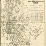
The futureNYCSubway: The IND Second System Introduction Much like my futureMBTA, this project has taken me years of… Continue reading “The futureNYCSubway: The IND Second System”…
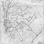
Unbuilt Robert Moses Highway Maps This is something I’ve been wanting to do for a long time… Continue reading “Unbuilt Robert Moses Highway Maps”…
The Old Elevated Subway Lines of New York City Using info from NYCSubway.org I threw together this Google Map of what… Continue reading “The Old Elevated Subway Lines of New York City”…
 vanshnookenraggenvanshnookenraggen