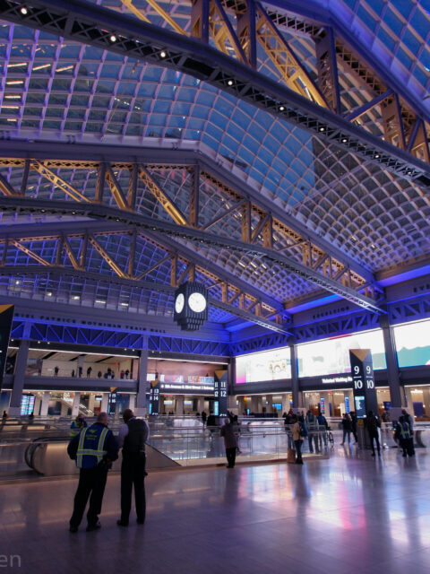
Moynihan was never supposed to solve every problem about Penn Station and our regional rail network. But in solving one problem it allows us to move on with a better idea of how to solve the next ones.
The NYC DOT is looking to rebuild the crumbling Brooklyn-Queens Expressway through Brooklyn Heights with a second elevated highway. But if our various transportation agencies could learn to work together the city wouldn’t have to.
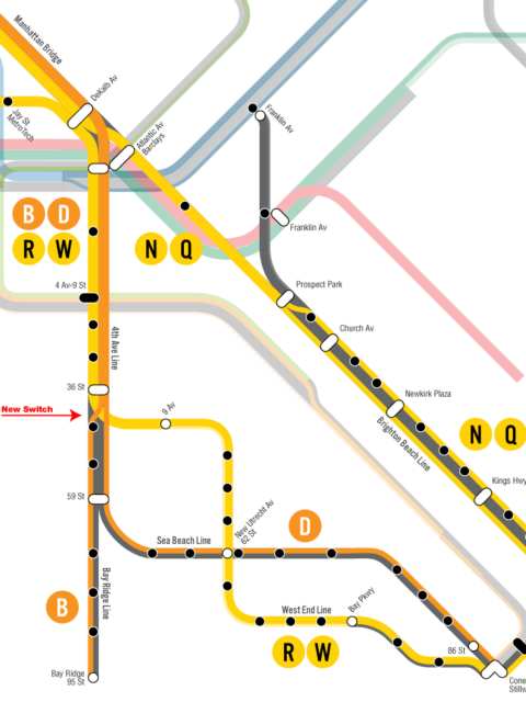
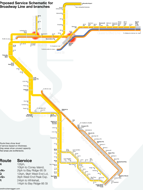
When it comes to the new LaGuardia AirTrain officials have lost sight of the larger picture. Extending the subway instead would have a system wide benefit. Here’s how.
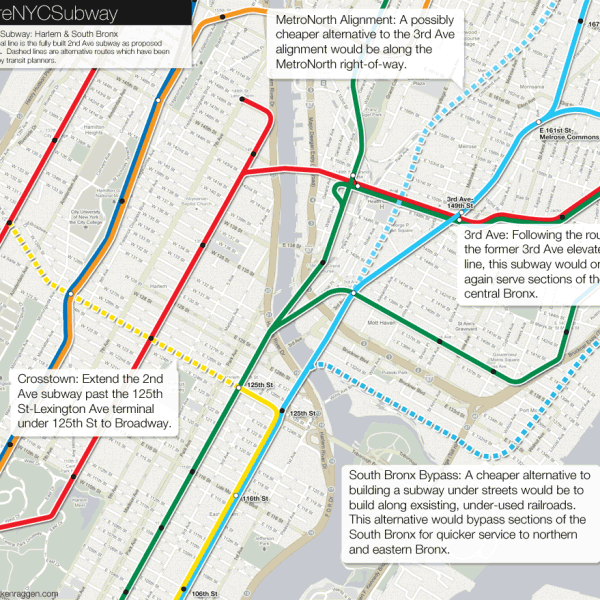
 vanshnookenraggen